
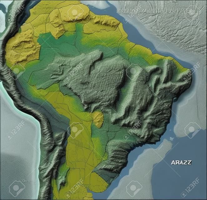
Brazil. Shaded relief map with major urban areas. Surrounding territory greyed out. Colored according to elevation. Includes clip path for the state area. Projection: Lambert Azimuthal Equal-Area Extents: R-83/-35/-32/11 Data source: NASA

 Pinterest
 10756518

 New
New
 New
New
 New
New


 10756518